About this app
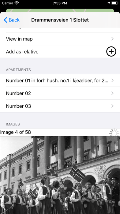
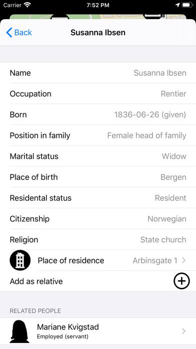
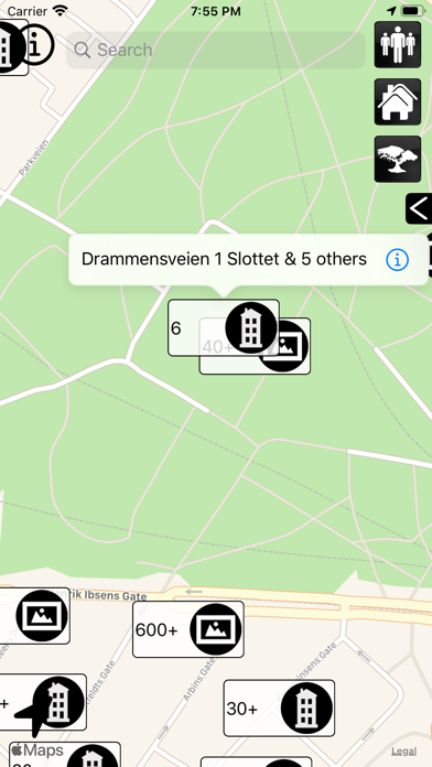
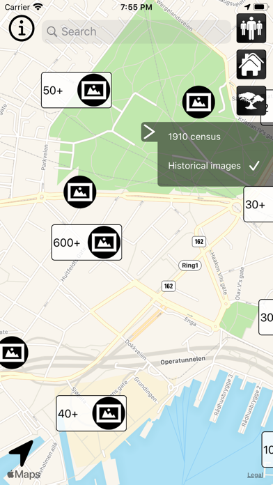
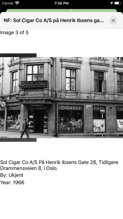
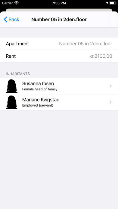
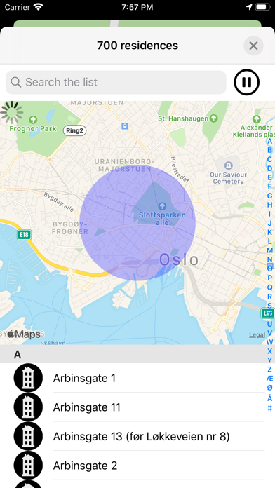
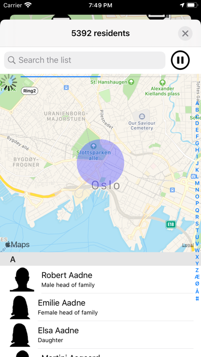
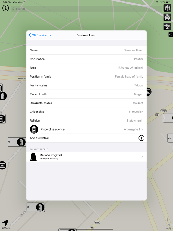
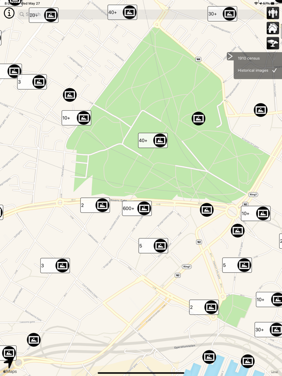
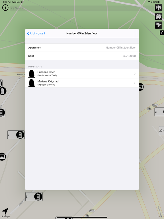
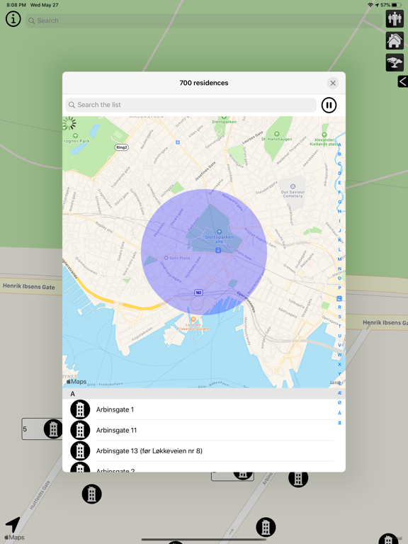
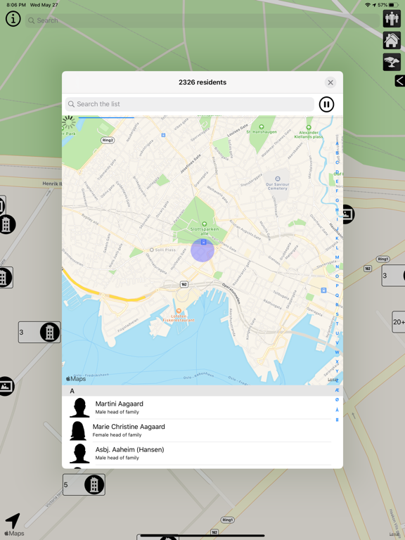
ÆtteForsker is an app that gives a detailed overview of Norway around 1900 using the 1910 census and historical images. Browse cities and rural areas looking for relatives and family, see the kind of professions people would have and even historical images directly in the map. People or locations of relevance may be added under "Relatives" for easy access later. Findings placed under "Relatives" may be exported via mail using the gedcom 5.5 format. The app displays all residences of the 1910 census that have been located in the map. The census is administrated by the Norwegian Digital Archives and its data are continually improved in terms of mass and accuracy. Also on the map are historical images from the DigitaltMuseum project. The two map layers are independent and may be switched on or off through an easily accessible control panel. In addition to manually searching the map for residences, it is possible to perform geographical searches in ever-increasing radius starting at the current map position. The search may be paused to inspect partial results, and filtered using a text field.
Latest release
What’s New
Fixes to colouring in dark mode.
Audience growth
Ratings growth
Baseline captured. Growth appears after the crawler observes a changed rating count.
Momentum comes from crawler snapshots for the tracked storefront. “Viral growth signal” means unusually fast recent rating gains; it is an indicator, not download data.
Price tracking
Price intelligence
First snapshot captured. The trend line starts after the next crawler price observation.
- First observed Sep 17, 2026 · 9:57 PM $9.99
Screenshots