About this app
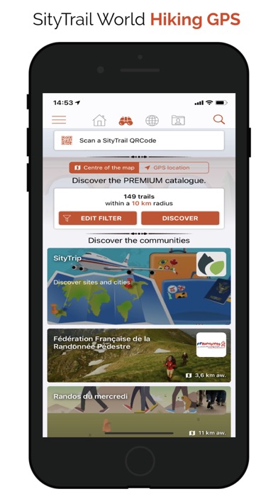
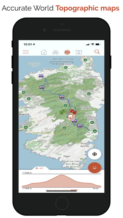
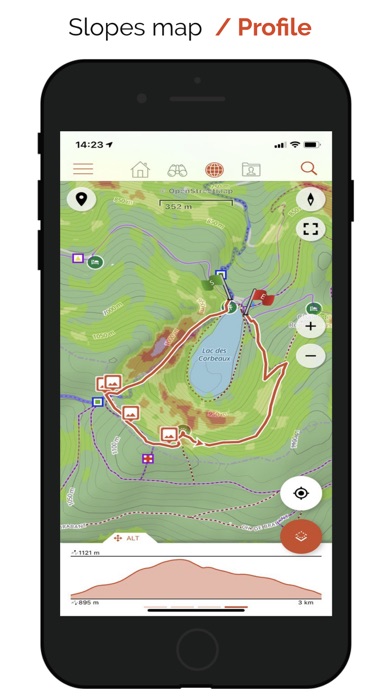
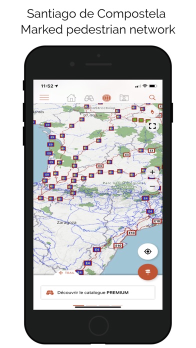
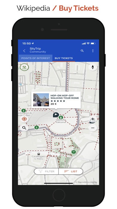
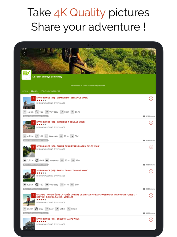
DISCOVER OUR FREE FREEMIUM FEATURES: RECORD YOUR ADVENTURES: • Save your hikes with geotagged photos. • Track your performance: distance, effort in Km, average speed, pace, calories burned. NAVIGATE SAFELY: • Accurate altimeter with interactive altitude profile. • Automatic alert if you stray from your route to prevent getting lost. • Automatic triggering of points of interest with vocal descriptions. EASILY PLAN AND SHARE: • Create and edit your trails and points of interest directly from our website. • Access your projects online and instantly retrieve them on your iPhone. • Sort and organize your favorite routes in personal lists. UNIVERSAL ACCESS: • Create a free account to sync your data across all your devices. • Discreet ads displayed solely to finance our free servers. UPGRADE TO PREMIUM FOR LIMITLESS ADVENTURES: PREMIUM MAPS AND OFFLINE MODE: • Download detailed topographic maps by area (IGN France, SwissTopo, Luxembourg, United Kingdom, and worldwide Geolives topographic maps). • Access the best hiking networks (GR, PR, European routes, Saint-Jacques de Compostelle). • Discover cycling paths (Voies vertes in France, Ravel in Belgium, Node networks in the Netherlands). • Easily identify ski slopes by their colors and names. OPTIMIZED GUIDANCE AND SAFETY: • Benefit from advanced GPS vocal guidance with precise Roadbook symbol generation. • Let yourself be guided effortlessly with clear visual symbols displayed at each intersection or direction change. Always know exactly which trail to follow, no technical knowledge needed! • Easily estimate remaining distance and time with clear and realistic display. ACTIVE AND COLLABORATIVE COMMUNITY: • Explore the public catalog of favorite community trails. • Transform your hikes into rich multimedia guides with texts, photos, videos, and share them with other users. • Create your own communities, easily manage members, and share news. ADVANCED EDITING AND PRINTING FEATURES: • Precisely edit your trails through our web platform. • Easily print your trail maps in PDF (A4 or A3 format) with integrated QR Code. COMPATIBLE WITH YOUR GARMIN: • Record and follow your trails directly from your Garmin smartwatch, including remaining time estimates and realistic visual guidance with precise Roadbook symbols. • With SityTrail, fully experience your outdoor passions and discover new horizons with every outing! HEALTH KIT INTEGRATION • The application is now compatible with Health Kit : you can add your activity (trail following or recording) to the "Health" app. IMPORTANT INFORMATION • Some features need an internet connection. • The prolonged use of GPS can reduce battery levels. • Our privacy policy is available here: https://connect.geolives.com/j8w7fb0dxb6oqm677674/privacy_policy.html • Our terms of use are available here: https://www.sitytrail.com/en/wiki/?page=help&content=Terms_Of_Use INFORMATION FOR IN-APP PURCHASES • Payment will be charged to your iTunes Account on confirmation of purchase. • Subscription automatically renews unless auto-renew is turned off at least 24-hours before the end of the current period. • Your account will be charged for renewal within 24-hours of the end of the current period. The cost of the renewal will be the same as the cost of your initial transaction. • You can manage your subscriptions and auto-renewal may be turned off by going to your Account Settings after purchase.
Latest release
What’s New
Fixed a crash when displaying points of interest on the map.
Audience growth
Ratings growth
Baseline captured. Growth appears after the crawler observes a changed rating count.
Momentum comes from crawler snapshots for the tracked storefront. “Viral growth signal” means unusually fast recent rating gains; it is an indicator, not download data.
Price tracking
Price intelligence
First snapshot captured. The trend line starts after the next crawler price observation.
- First observed Sep 7, 2026 · 6:50 AM Free
Screenshots